On a beautiful Thursday afternoon, and after a series of delays, the shuttle Discovery lifted off Pad-A and headed downrange for the last time. There are only two more launches until we enter a long dry spell for the manned space flight program. For the final launch I will certainly be on the base (Kennedy Space Center) somewhere, but for this one, I left work a couple of hours early, giving up a great view (and photo op). Lots of people are coming to our area to view the launches. Lots and lots. After many years of the general public being pretty blase about them, these last few shots are attracting hordes of people. And they are coming in their cars.
Imagine a couple of hundred-thousand people coming to your community for the day. Imagine that the best sites-of-choice for most of these folks involve crossing multiple bridges. Then they all get in their cars at the same time and try to get home. You can imagine the result. Launch was about 5:00 pm. There were still jams at 12:30 the next morning. It wasn’t pretty.
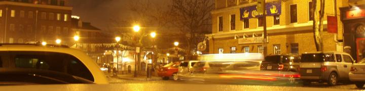
I had to work the previous launch, so I couldn’t avoid dealing with it. The secret is to get out quickly in order to miss the bow-wave of humanity heading west. I have to get out before the tourists leaving the Space Center clog the Center’s exit then head south to get to a bridge before the mass of cars from the beachside reaches them. I have two choices of causeways to take to the mainland. The first one leads straight to the most popular areas and is all highway. It’s always a parking lot as I drive beneath it. The second one is a surface street that also leads straight to the beach, but it takes longer for them to get to the bridge. I can usually make it across there and home free without too much problem.
This launch I went to a viewing stand out on a hiking trail in the swamp/marsh to take a couple of photos and run home. Turns out there was a branch in the way. Limited photos, but it was a pretty shot. And I got home after only an extra 20 minutes.

STS-133, 2/24/11, Merritt Island, FL
Geek Note: That branch really pisses me off. I used Google Earth to draw a line from the viewing stand to the pad. I noted local landmarks to help me line up the camera towards the pad. Looked perfect, I had been worried about the branch but it wasn’t it the way. When it launched I was pointing too far east. I don’t know what happened, but I’ll blame operator error for now.

2 comments
Comments feed for this article
February 28, 2011 at 1:51 pm
minor catastrophes
I was in my car listening to NPR talking about the final Discovery launch thinking, “How cool is it that I hear about the happenings related to my Uncle John’s work way up in the hinterlands of Montana…?!”
July 8, 2011 at 4:28 pm
Time To Move On « The World as We See It
[…] people all hopping in their cars at the same time is not my idea of fun. (I talked a bit about that here) I watched from my back yard but, due to weather, I only saw it for about 2 seconds before it […]